Cycling the Vézère: from St Chamassy to Les Eyzies in the Dordogne
Enrobé lisse
Description
In the heart of the Dordogne and the valley of man
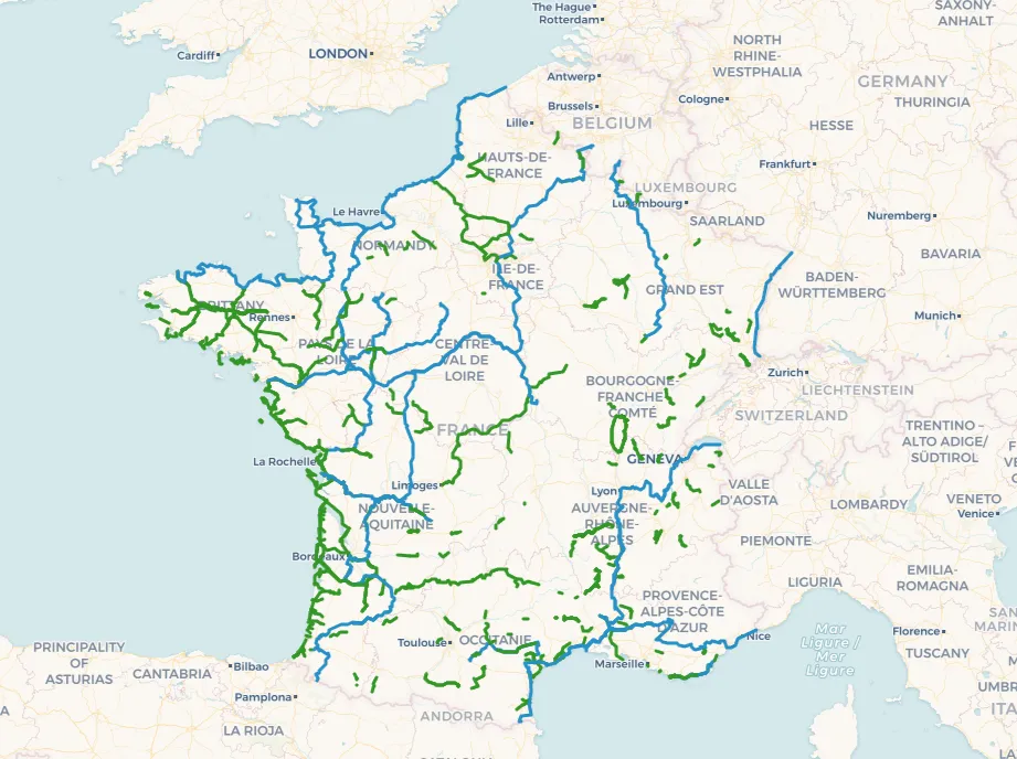
The greenway in the Vézère Valley, in the Dordogne, is an invitation to peacefully discover a region rich in heritage and nature. Stretching 23 kilometers, it connects Les Eyzies in Saint-Chamassy via Le Bugue and Limeuilon a cycle path accessible to all. This cycle route, ideal for a family outing, follows the course of the Vézère River, using former towpaths and rural roads, now restored for cyclists and pedestrians. It can be extended into a more challenging cycle route to Montignac, covering 60 km in the Vézère Valley.
From the very start in Les Eyzies, world capital of prehistoryYou are immersed in history with the caves of Font-de-Gaume, des Combarelles, and the National Museum of PrehistoryThe journey continues towards Le Bugue Over 12,5 km of soothing scenery, between limestone cliffs and walnut orchards. Consider consulting the Vézère Valley greenway map to plan a stop at the local market (Tuesday and Saturday mornings) or visit Bournat Park, the Périgord Noir Aquarium and the Bara Bahau cave.
An elegant footbridge then leads you to Limeuil, classified among the Most Beautiful Villages of France, at the confluence of the Vézère and DordogneIts panoramic gardens offer breathtaking views before getting back on the bike to reach Saint Chamassy over the remaining 3,2 km.
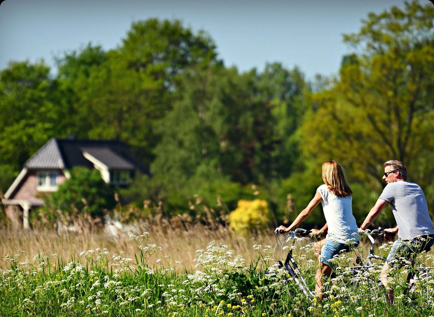
The route is safe, with a smooth surface and grassy verges promoting coexistence between cyclists, pedestrians, and horse riders. Rental and charging stations for VAE are available in Les Eyzies and Le Bugue. Connected to the Flow Vélo to the north and the future route V91 southThis greenway is part of a larger network, ideal for extending A cycling adventure in the heart of the Périgord.