Green Way of the Orleans Canal
Glad asfalt
Description
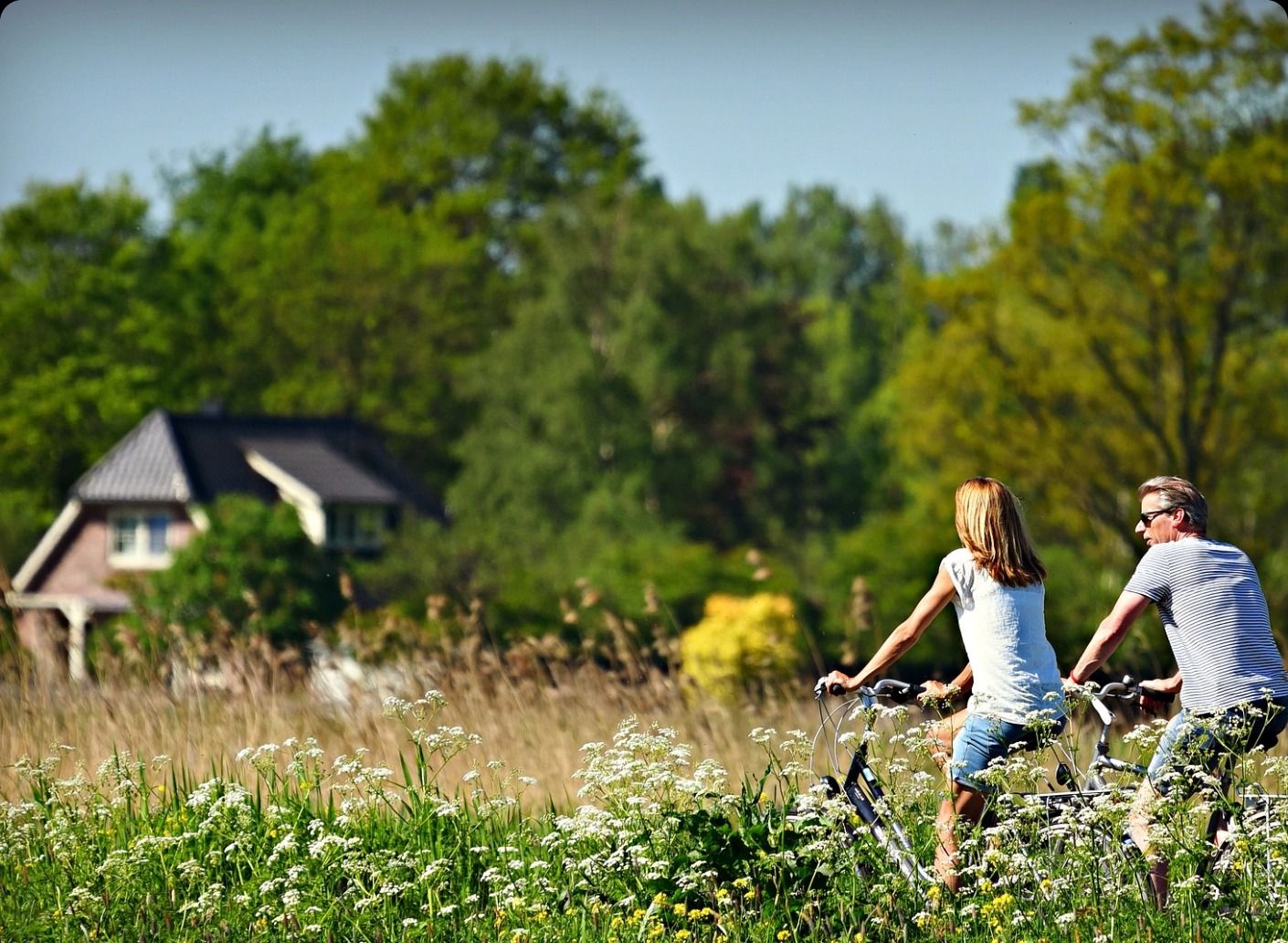
Cycling in the Loiret region along the Orléans canal
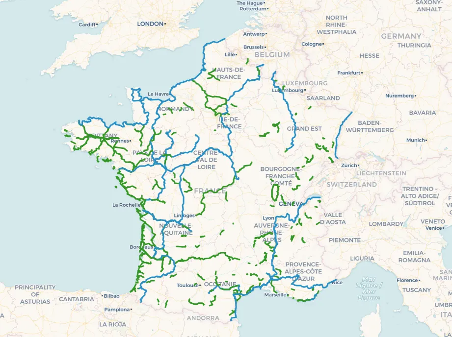
The 78-km-long Orléans Canal Greenway is an invitation to escape for the whole family. This cycle route connects Orléans to Montargis and crosses a diverse range of exceptional landscapes: forests, tranquil ponds, and charming villages. Accessible to both traditional bicycles and electric bikes (e-bikes), it offers a unique experience combining nature and heritage.
To plan your route, don't forget to consult the map of the Orléans Canal greenway. The developed sections, from Châlette-sur-Loing to Presnoy and from Vitry-aux-Loges to Orléans, allow you to explore iconic sites. In Montargis, discover the Square Tower, the half-timbered houses, and the old tanneries. The Buges lock marks a strategic point, connecting the Orléans, Briare, and Loing canals.
The route also crosses the majestic Orléans Forest, the largest state-owned forest in France. Stops at the Vallée and Bois ponds invite you to enjoy beaches and water sports. Combleux, with its picturesque locks and Loire riverbanks, offers an enchanting setting for a well-deserved break.
Connections with other cycling routes, such as the Loire à Vélo (EuroVelo 6) and the Scandibérique (EuroVelo 3), enrich the experience. These links allow you to extend your trip by following a loop of nearly 200 km.

Map of the Green Way of the Orleans Canal