greenway of Pévèle and sugar
Gestabiliseerde grond
Description
South of Lille, 2 continuous greenways
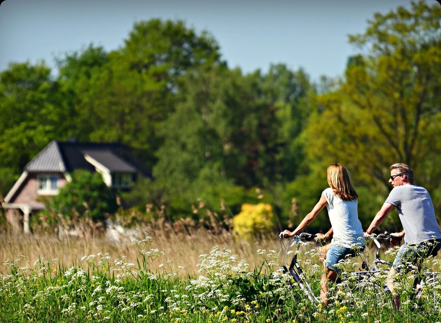
The Pévèle Green Way and the sugar route offer an invitation to escape for true families and lovers of cycling on the edge of the Scarpe - Escaut Regional Natural Park.
Stretching 26 km, it extends from Pont-à-Marcq to Roost-Warendin, traversing picturesque landscapes and seven charming villages. This unique route largely follows the old "PP" railway line, transformed into a dedicated path for cyclists, hikers, and users of e-bikes.
In Pont-à-Marcq, an ideal starting point, the route winds through fields and leads to Mérignies, renowned for its golf course and bucolic atmosphere. Mons-en-Pévèle, a key site in the Battle of 1304, offers magnificent views of the surrounding countryside. Further on, Thumeries reveals its ornithological site, Les Cinq Tailles, a remarkable natural area for observing local wildlife. The former Château Béghin estate adds a historical touch to the route.
The varied surface – between asphalt, stabilized sand, and gravel – guarantees a pleasant experience for all types of cyclists, from beginners to experienced riders. The well-equipped rest areas are perfect for friendly family breaks. For map enthusiasts, consult the map of the Pévèle Green Way and sugar
Accessible by train via the Templeuve-en-Pévèle and Le Forest stations, this greenway combines practicality and escape. With its clear signage and points of interest, it's an ideal walk for exploring the region, while enjoying the charm of the old stations, vestiges of a time when locomotives set the rhythm of local life. A true treasure for nature and heritage enthusiasts.
