Greenway Promenade of the Dhuis aqueduct (Le Raincy - Dampmart)
Gestabiliseerde grond
Description
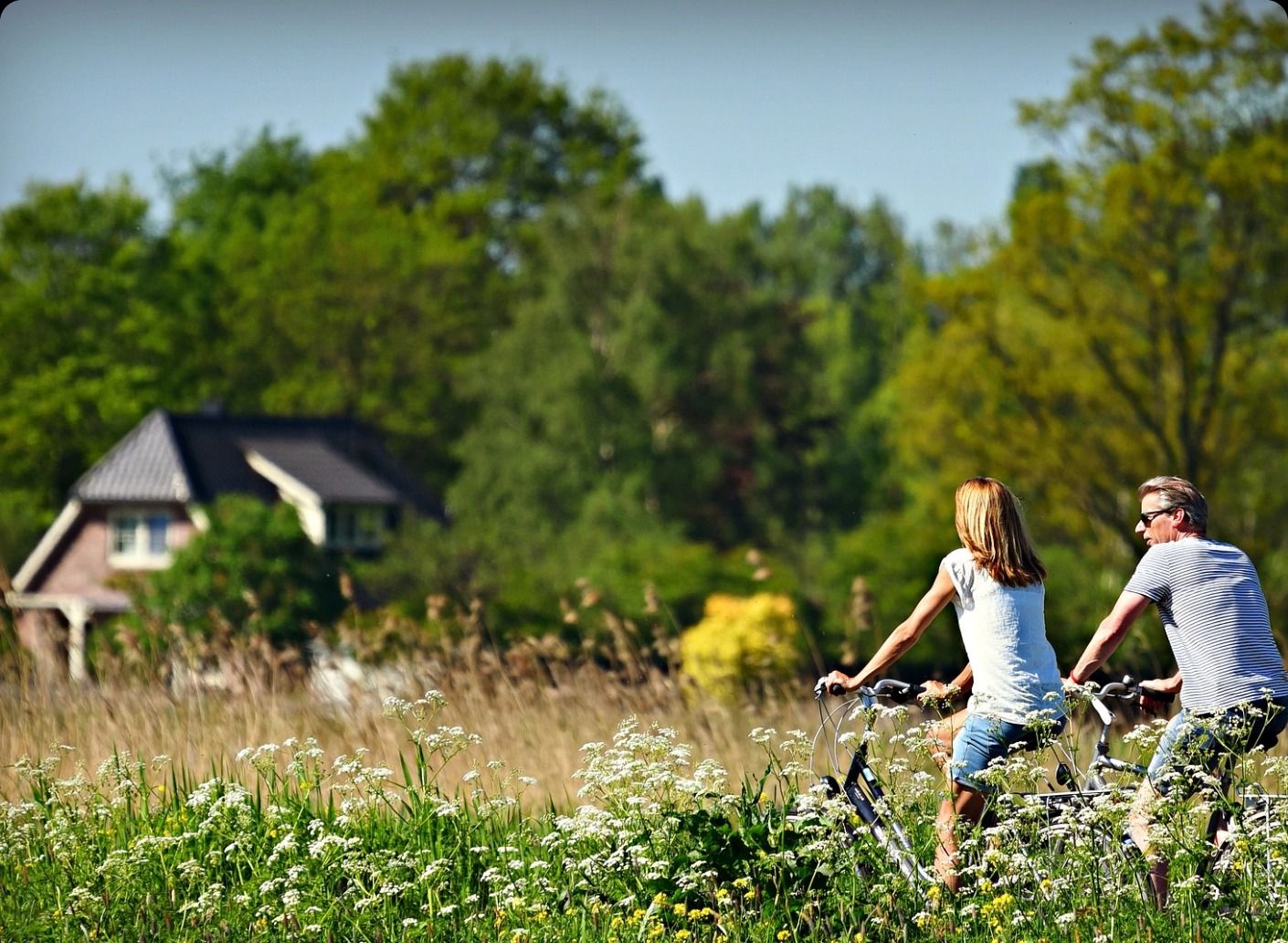
The Dhuis Aqueduct Greenway offers hikers and cyclists a unique 27-kilometer route in the Île-de-France region. Located between Le Raincy and Dampmart, this cycle path runs along the hillsides, providing breathtaking views of the region's diverse landscapes. Inaugurated in 2008 after two years of construction, it crosses 13 municipalities, efficiently connecting various wooded areas such as the Poudrerie Forest Park, the Bois Saint-Martin, and the Vallières Regional Forest.
Although the promenade is accessible to cyclists and pedestrians, some sections can be challenging due to narrow paths and varying surface conditions. Despite these challenges, the promenade remains an attractive option for hiking, allowing users to explore part of the Île-de-France green belt while preserving the network of rural and local paths.
The Dhuis aqueduct, a 19th-century underground structure, is unassuming, but its visible path on the ground reveals its historical presence. This route not only connects the town, the forest, and the countryside, but also offers a vantage point from which to discover the Marne hillsides and the agricultural plain of Aulnoye.
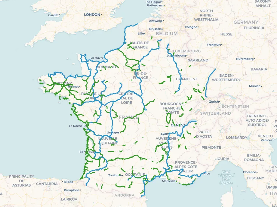
To prepare your visit and maximize your experience on this greenway, feel free to consult the map of the Greenway Promenade of the Dhuis aqueduct (Le Raincy - Dampmart).

Map of the Greenway Promenade of the Dhuis aqueduct (Le Raincy - Dampmart)